Understanding the chain ferry
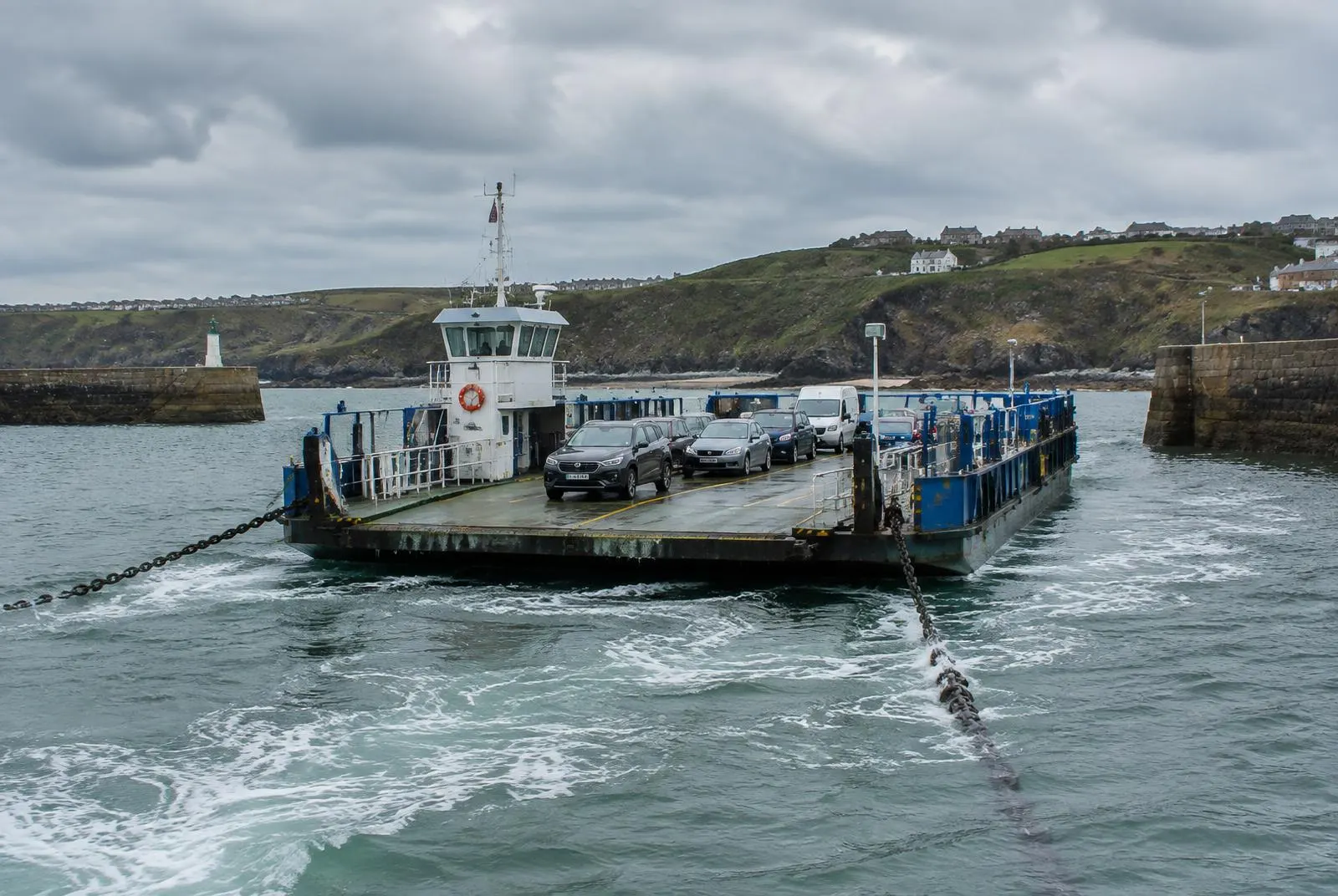
A chain ferry — sometimes called a floating bridge — is a vessel that pulls itself across a stretch of water along chains anchored on each bank. The chains sink to the bed between crossings and rise as they pass through the ferry's machinery. Engines on board turn large toothed wheels that grip the links, hauling the ferry forward in one direction and back in the other.
Because the vessel is guided by the chains, it does not need to be steered against wind and tide in the same way as a free-running ferry. That gives the Sandbanks chain ferry a predictable track, but it also means the service can be affected by very strong winds, exceptional tides or maintenance on the chains themselves.
Sandbanks Ferry crossing
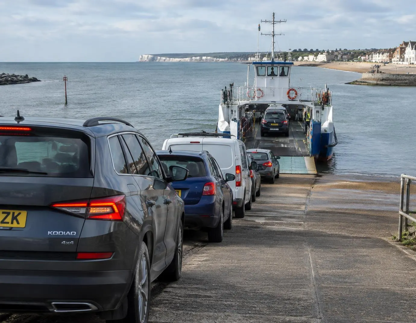
The Sandbanks Ferry crossing spans the harbour entrance between the southern tip of the Sandbanks peninsula and Shell Bay. The channel is short but busy: as well as the ferry, it is used by yachts, fishing boats and larger harbour traffic, so the crossing is managed to keep the shipping lane safe.
On the Sandbanks side the slipway sits at the end of the main peninsula road. On the Studland side, the ferry lands at Shell Bay, from where a single road heads south across the heath.
Sandbanks Ferry car travel
For a Sandbanks Ferry car journey, the process is straightforward:
- Join the marked queue on the approach road — do not park in or block the queuing lanes.
- Have your payment method ready for the toll, as required by the operator's current arrangements.
- When directed by staff, drive slowly up the ramp and onto the deck, following lane markings.
- Stop where indicated, apply the handbrake and switch off your engine if asked.
- On arrival, wait for the signal and drive off steadily — the ferry is drive-through, so there is no turning.
Vehicle types
Passenger cars
Standard cars make up most of the traffic. Cars carrying roof boxes or bicycles on rear racks are normally carried as cars, but be aware of any height or length guidance.
Motorcycles
Motorcycles are carried and usually have their own toll category. Riders should follow marshals' directions on where to stop on deck.
Other permitted vehicles
Vans, motorhomes, minibuses, cars towing trailers or caravans, and commercial vehicles may be accepted in specific categories or restricted by size and weight. If your vehicle is anything other than a standard car or motorcycle, check the operator's vehicle guidance before you travel.
Cyclists and foot passengers
Walkers and cyclists also use the ferry, typically boarding separately from vehicles. Listen for staff instructions about where to wait.
Planning your journey
- Check the operator's website for the current timetable, service notices and any planned closures.
- Confirm the toll that applies to your vehicle on the ferry tolls page and the operator's tariff.
- Allow extra time in summer, on bank holidays and on sunny weekends.
- Plan an alternative road route around the harbour in case the ferry is suspended.
Travelling to Studland
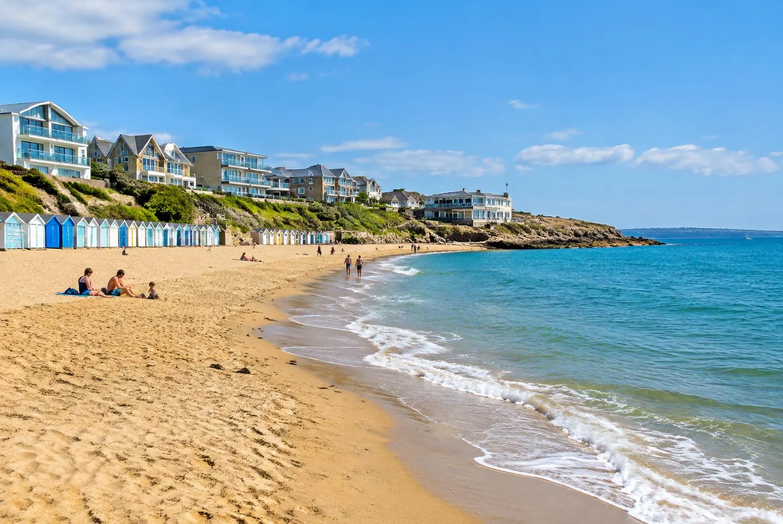
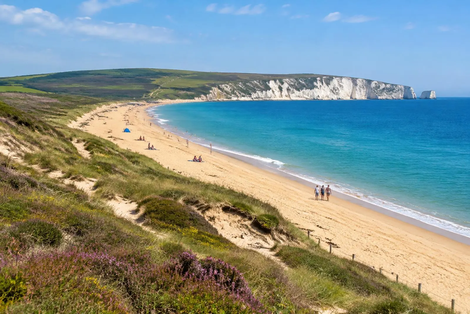
From Shell Bay the road runs south across Studland Heath to the village of Studland, then continues towards Swanage. Further inland, routes lead towards Corfe Castle and Wareham. On the Sandbanks side, the peninsula road connects with Poole and onward routes towards Bournemouth.
Crossing conditions
Queues. On fine summer days the queue can stretch back along the peninsula road. Queues are common in both directions at the start and end of the day.
Weather. High winds, poor visibility and exceptional tides can slow or suspend the service for safety reasons.
Service interruptions. The ferry periodically undergoes maintenance and refit, during which the crossing may close for an extended period. The operator announces these closures in advance.
Useful travel tips
- Travel early in the morning or later in the evening during peak season.
- Keep children and pets inside the vehicle or under close supervision on deck.
- Do not stop on the slipway to take photographs — step aside safely if on foot.
- Respect the queuing lanes; residents use the same road for access.
- Only pay the toll through methods the operator authorises — see our payment safety advice.
Questions about this guide? Contact the website administrator.